Shahrokh Mehmood
Geologist & Geoscientist
How geologists use field observations and modern tech to create 2D and 3D visualizations of the subsurface.
Bridging Observation and Visualization
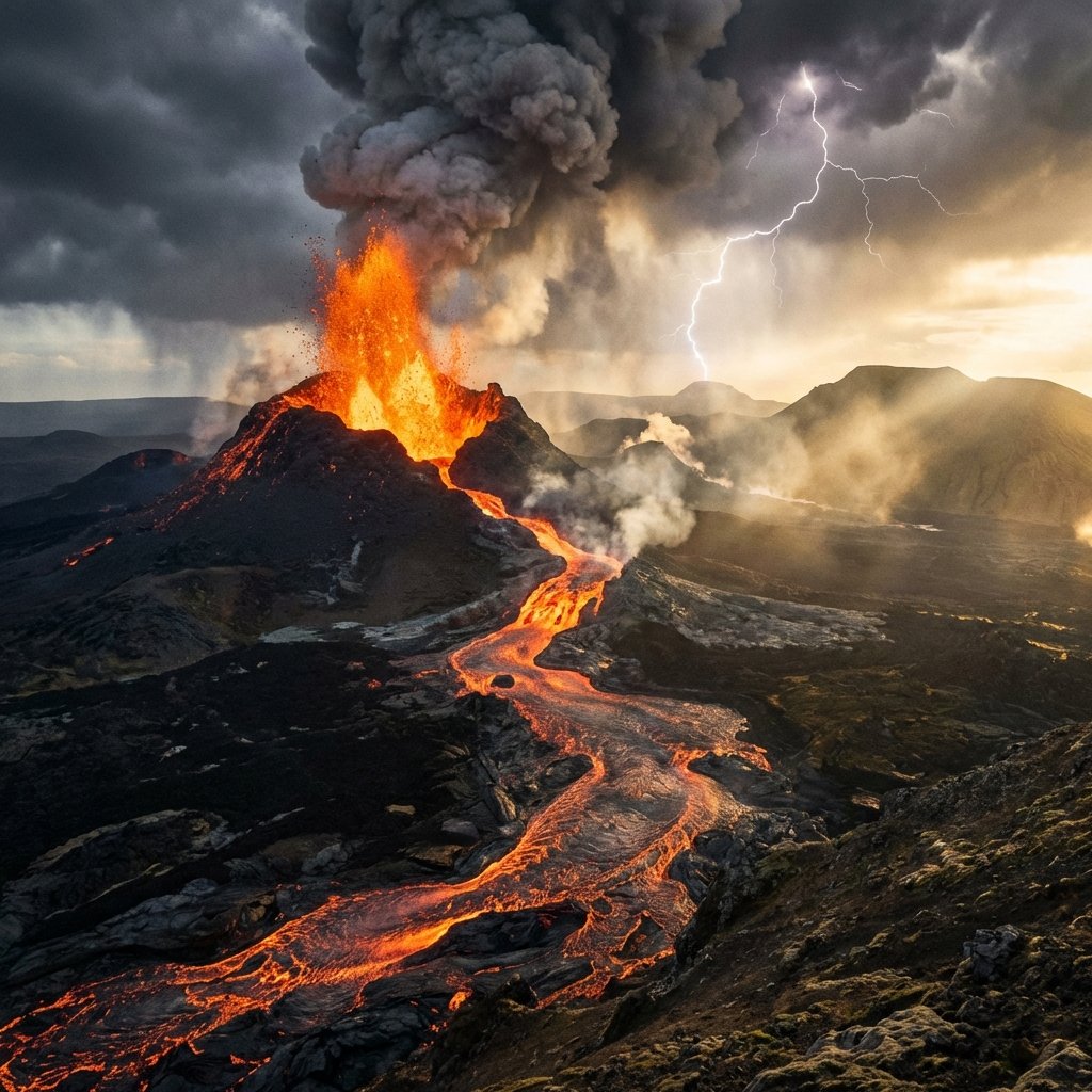
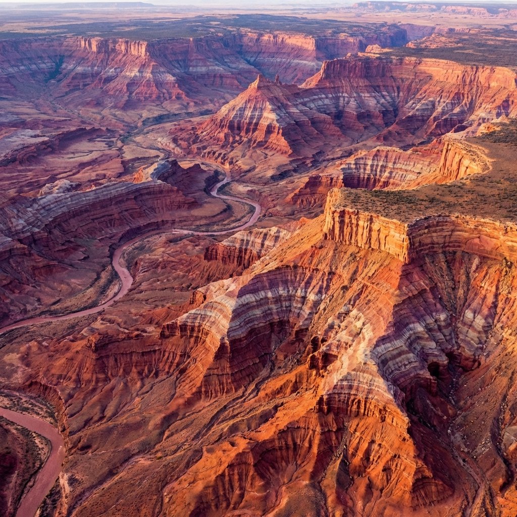
Geological mapping is much more than drawing lines on a paper. It is the synthesis of field observation, spatial reasoning, and stratigraphic interpretation. A geological map is a primary tool for resource exploration, hazard assessment, and infrastructure planning, providing a 2D representation of a complex 3D subsurface reality.
From Field Sketches to Digital Models
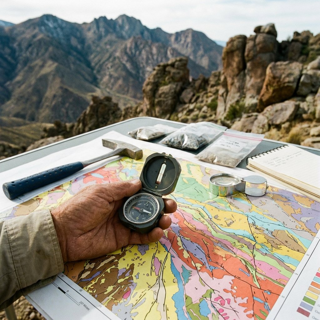
The process starts with field mapping—walking the ground, identifying outcrops, and measuring structural orientations (strike and dip). However, modern methodology has evolved significantly with the integration of GIS (Geographic Information Systems) and remote sensing. Satellite imagery and LiDAR (Light Detection and Ranging) allow us to map large areas and identify subtle landforms that are invisible from the ground.
In the office, these observations are processed using software to create 3D geological models. By correlating borehole data with surface maps, we can "see" through the Earth, identifying faults, folds, and stratigraphic contacts. This is vital for everything from tunnel design to oil and gas exploration.
Technical Precision and Value
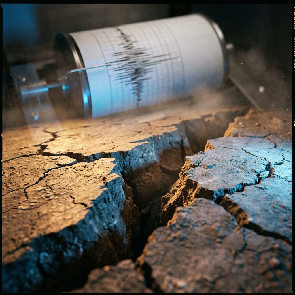
For a geologist, mapping is an exercise in data management. Every data point must be weighted by its reliability and its context within the regional tectonic framework. My work in Sweden and international projects has always placed a high premium on accurate mapping as the foundation of all subsequent geological analysis. Without a solid map, even the most advanced laboratory data lacks context.